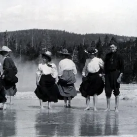
Union Falls - A Visit to Yellowstone’s Second Biggest Waterfall

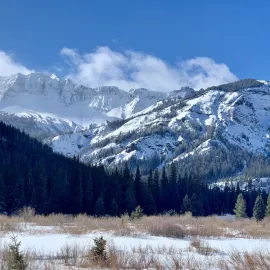
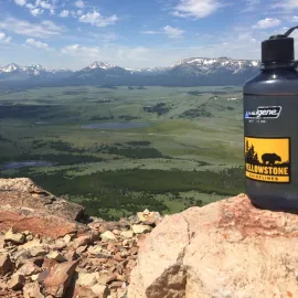
The Bechler Region is located in the southwest corner of Yellowstone. It is an area most visitors never see while visiting to Yellowstone. The region is remote and full of trails that circumnavigate the south and southwest portions of the Park. The Bechler receives the highest amount of rainfall over Yellowstone’s 2.2 million acres, making it primed with rivers, creeks, streams, and waterfalls. It is also referred to as the “Cascade Corner”. Union Falls is hidden in this oasis of geological wonders. Union Falls is Yellowstone’s second tallest waterfall at 260 ft. It is named after the converging forks of Mountain Ash Creek that combine to form this water giant.
How to Get There
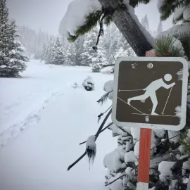
Union Falls remains a quiet trail because of its remote access. The best way to get there from Yellowstone is to drive out the South Entrance until you see the Flagg Ranch and Flagg Ranch Road. Turn right (heading west) and find your way on to Grassy Lake Road. The road is paved for the first mile or so. After the pavements ends, the road is narrow with tons of washboard, so be patient. Take the road until you come to the Grassy Lake Reservoir. One guidebook mentioned parking before the causeway, down a steep not well-marked road. We thought the road looked sketchy and decided to start from the Cascade Creek Trailhead, a short distance after crossing the reservoir. Look for the parking lot and trailhead sign on the right. Note that the Grassy Lake Road may not be accessible in the spring due to muddy, snowy, or generally poor conditions.
The Hike to Union Falls
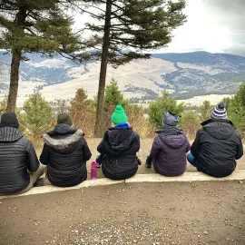
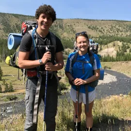
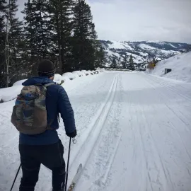
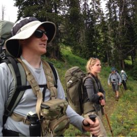
The hike to Union Falls from the Cascade Creek Trailhead is approximately 16 miles. The trail should be rated moderate to difficult because of distance, but has little elevation gain (< 1000 ft.). Like most hikes in Yellowstone, the crowds are non-existent. The trailhead is well marked and in excellent condition. The hike is an out and back, but would be a perfect side-adventure for those
camping in the Bechler Meadows.
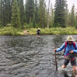
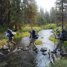
After leaving the Cascade Creek Trailhead, the trail descends to Cascade Creek. We crossed over the creek using an old logjam. If the creek is low, and you are able, a big jump should get you across. The trail splits and goes to Terrace Falls, a 140 ft. combined terraced waterfall. After the first creek crossing, the trail continues it’s descent to the Falls River. The Falls, or Fall River, originates from Beula Lake on the high plateaus of Yellowstone and travels 60+ miles before joining the Henry’s Fork of the Snake River. The trail goes through the river and a ford is mandatory. The river is swift moving but manageable. Take your time; go slow, as the water can be ankle to thigh deep. Trekking poles are recommended.
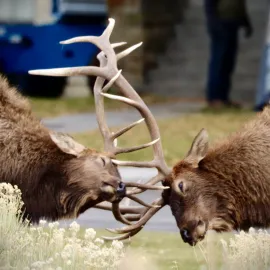
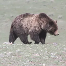
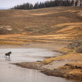
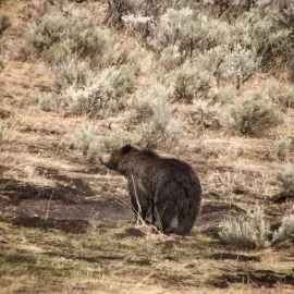
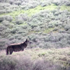
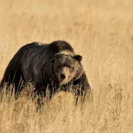
The trail ascends out of the river drainage, and meanders through a mixed temperate forest. The “Cascade Corner’s” elevation, combined with high annual precipitation, makes this region of the park seem like an oasis. We did the hike in August and found tons of huckleberries, but also lots of bear sign. The trail was littered with turned over logs and tore up trees, a classic indication of bear activity. The park service had warnings for the area, but we did not come across any bruins. Always be sure to check with the National Park Service for trail closures and warnings…
https://www.nps.gov/yell/planyourvisit/situationreport.htm After hiking for a bit, the trail descends into the Proposition Creek drainage. You follow the creek, crossing it multiple times over fallen logs and official bridges. Look for the Union Falls Ranger Station about 6.5 miles from the trailhead. The ranger station is a small A-frame cabin with a communication antenna. There is also a picnic bench where we enjoyed lunch on our return to the car.
The last mile of trail is sandy and steep. The trail can also get horse traffic coming from the Bechler Ranger Station entrance, be aware and give right of way for any horses. The trail splits near Union Falls and offers a short side-hike, about a mile, to Ouzel Pool or Scout Pool. The thermal pool is lukewarm, perfect for a mid-day swim. Plus, if you are 8 miles into the wilderness, another mile or so, is no big deal. Beware of the creek flowing into the pool, which can have strong currents.
The final stretch ascends over 125 feet, comes around the corner, and bam, an amazing view of Union Falls. Hiking down to the bottom of the falls is not recommended because of the steepness and wetness of the trail. We stayed to enjoy the sights and sounds of nature, and the peacefulness that only the backcountry of Yellowstone can provide.
For more information on
guided adventures and tours in Yellowstone, please give us a call (406-599-2960) or
send a note. Hope to see you in the park!
More Yellowstone Stories