Mar 21, 2026
How to Plan Your Best Vacation in Yellowstone
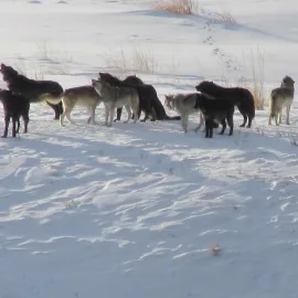
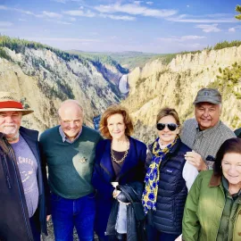
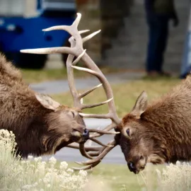
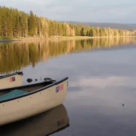
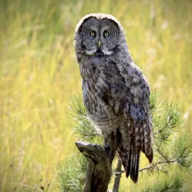
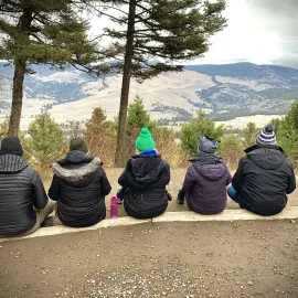
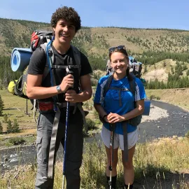
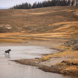
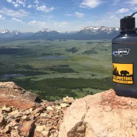
A guide to planning your best vacation in Yellowstone National Park. A blog post about lodging, itinerary ideas, seeing wildlife, and experiencing Yellowstone.
Read More
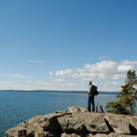
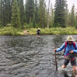
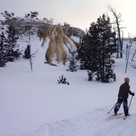
The Canyon Area is close to the center of Yellowstone. When visiting Canyon, take time to explore the great hiking opportunities in Yellowstone. There are many amazing Yellowstone day hikes in the Canyon region. Hikes include difficult treks to the bottom of Yellowstone’s Grand Canyon to easy strolls for beginners along the North Rim Trail. The best hikes in the Canyon area include the South Rim Trail, Point Sublime, Seven Mile Hole Trail, and Mount Washburn.

The South Rim Trail in Yellowstone is a popular hike for a reason. The views are amazing! The South Rim Trail starts at the parking lot for the Uncle Tom’s Trail/View of the Upper Falls and ends at the Artist Point overlook. The South Rim Trail follows the edge of Yellowstone’s Grand Canyon, one of the park’s top highlights. Many guidebooks have the trail starting at the Chittenden Bridge. To access the trail from the Chittenden Bridge, look for the Wapiti Lake Trailhead/Picnic Area. When hiking the South Rim, it’s recommended to take your time, snap lots of photos, and enjoy the scenery along the trail. Note: Please be careful while hiking on the South Rim Trail. Portions of the trail go close to the edge of the Canyon. The trail can be unsteady and potentially unstable.
South Rim Trail Info:
Distance: Approximately 3.2 miles (5.2 KM)
Elevation Gain: Less than 300 feet
Trail Rating: Easy
Trail Type: Out and back
Notes: Distance is from Chittenden Bridge to Point Sublime
GO HIKING IN THE CANYON AREA OF YELLOWSTONE
Everyone who makes their way to the Grand Canyon of the Yellowstone River wants to check out the spectacular views of the Lower Falls from Artist's Point or along the South Rim Trail in Yellowstone. The Grand Canyon of the Yellowstone is awe-inspiring and big! A less-visited area of the canyon is the hike to Point Sublime. Point Sublime starts at Artist's Point. Look for the Ribbon Lake Trail and proceed directly into the forest, and avoid the hustle and bustle of one of Yellowstone's busiest places. Very few people get off the beaten path when hiking in Yellowstone.
The Point Sublime hike in Yellowstone begins in the forest. After a short while, the trail busts out into wonderful views of the canyon. The trail follows the edge of the canyon, with different vistas at every turn. Once you reach Point Sublime, there is a fence and a great view of the canyon and the Yellowstone ecosystem.

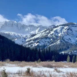
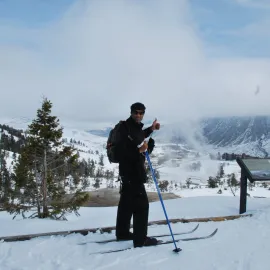
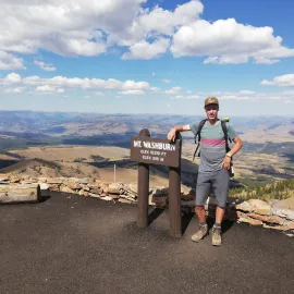
Mount Washburn is the tallest peak of the Washburn Mountain Range in Yellowstone. The Washburn Range is considered one of the only internal mountain ranges in the park. The Mount Washburn Trail is a popular summit with multiple routes to access the top. The longest and most popular route up to the 10,243 ft. summit is via Dunraven Pass. This trail is very wide for a majority of the 1,400 ft. climb. The other trailhead option is from Chittenden Road, just north of Dunraven Pass. The Chittenden Road access is a bit steeper but shorter. Mount Washburn is one of the best hikes in Yellowstone. Either route will get you to the summit, a definite accomplishment.
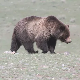
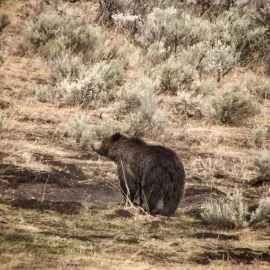
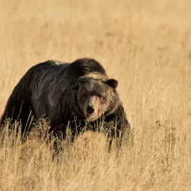
The Washburn Range is named for General Henry Washburn, the leader of the 1870 exploratory expedition through Yellowstone. The Mount Washburn area is a prime grizzly bear and bighorn sheep habitat. If you just happen to be hiking this spectacular mountain in July or August, you'll be enthralled with the beautiful wild flowers that coat the mountain. A fall hike will lighten the mosquito load of midsummer Yellowstone. A spring summit can be challenging depending on snow conditions.
The summit of Mount Washburn has a lookout or fire tower and is staffed during the summer by a park ranger. When at the summit, take the time to examine the vastness of the Greater Yellowstone Ecosystem. You can even see parts of the Yellowstone Super Volcano's caldera rim, the Grand Teton Mountain Range, the Absaroka/Beartooth Wilderness, the Gallatin Mountains, and more. Have fun and be sure to enjoy the epic views. There is no better in Yellowstone!

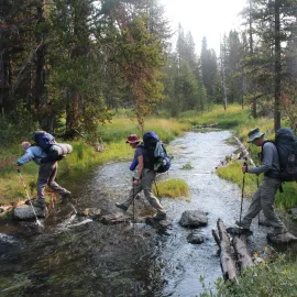
The Seven Mile Hole is your chance to hike to the bottom of the Grand Canyon of the Yellowstone River. This is one of two Yellowstone hiking trails that access the depths of this geologic wonder. The other way to get to the bottom of the canyon is Agate Creek, a spur route off the Specimen Ridge Trail in the north of the park.
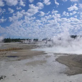
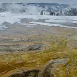
Start from the Glacial Boulder Trailhead on the Inspiration Point spur road. Inspiration Point is located off of North Rim Drive. Make your way along the canyon, and you'll get views of Silver Cord Cascade as it tumbles 1,200 feet down the walls to the Yellowstone River far below. Follow the trail signs to the Seven Mile Hole, where you'll start your descent. In the 2.3 miles, you'll make your way through the forest and past mysterious thermal features. The formation of the Grand Canyon of Yellowstone was influenced by all the hot spring activity. Always be careful while exploring backcountry thermals. The ground can be unstable with hazards below.

Eventually, you'll make it to the bottom of the canyon. Did you remember your fishing pole? This seldom-visited spot is a great place to test your fishing skills! Yellowstone cutthroat trout, the park's native species, are a favorite target for anglers. Make sure to bring lunch, have plenty of snacks, and refill your water bottle, because it's a heck of a hike out. Remember when you're climbing out, it's a marathon, not a sprint.
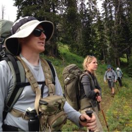
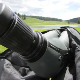
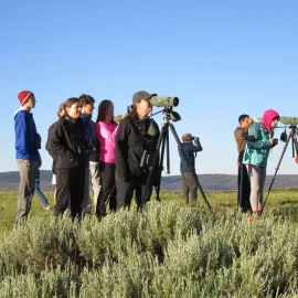
Other great hikes in the Canyon region not listed in the blog post are Observation Peak, Cascade Lake, North Rim Trail, and Chain of Lakes Trails. We recommend checking in with the nearest Visitor Center or Backcountry Office in Yellowstone for up-to-date trail information. If wanting to explore the area with a local, a guided hike of Yellowstone is a great option. For more information on exploring Yellowstone, give us a call (406-599-2960) or send an email. Hope to see you on the trail. Happy hiking!!!
BOOK A TOUR OF YELLOWSTONE